
Gloucester Township Neighbor Sources
A block search in Gloucester Township is a parcel-by-parcel exercise, not a roster of everyone nearby. The public map identifies a location and the tax map supplies block and street context. The assessment and Clerk routes can provide an owner or recorded interest where the record is available. Election records have their own access rules. Community groups show public civic identity, meeting channels, or local resources. Each source answers a different question, so a block result should say whether it is a parcel, an owner, a historical address clue, or a public organization connection.
| Source | What it shows about a block | Access |
|---|---|---|
| GovPilot GIS | Address/place search, mapped parcels, parcel categories, layers, and adjacent context | Public JavaScript viewer; identify-card and owner-link behavior not confirmed |
| Township tax map | Sheet, block, street name, PIN/Folio, and mapped parcel context | Public index maps and PDFs; not a legal survey |
| County assessment mapping | Property, land-detail, and 200-foot mapping context | County hub and map route; exact 200-foot output fields were not captured |
| Recorded deed index | Parcel-by-parcel transfer and ownership-interest history | Camden Clerk index from 1978 forward; Clerk and CCHS for earlier work |
| Election record channels | Permitted name, address, party, ward/district, and ballot-status fields in legal contexts | Individual status tool and Board request; no confirmed public block download |
| Community organizations | Public organization, meeting, newsletter, or resource channels | Township groups and boards pages; no membership rosters |
Owners and occupants must stay separate. A tax mailing address can be a correspondence address. A deed party may be an owner from another period. A directory entry can be historical. Renters and other household members are not necessarily shown in a public property record. Nearby records are best understood by comparing the date and role of each source, not by treating an adjacent parcel as a list of present households.
Gloucester Township GIS Parcels
Start by entering the anchor address or place name in the Township's GovPilot map. Zoom until the parcel and layer controls are active, then use the map to pan along the street and inspect the parcels beside the anchor. The public viewer shows categories including Residential, Apartment, Commercial, Industrial, Vacant, and Public/Government. Some layers become available only after zooming past level 13. If the browser exposes a parcel identify card, record the parcel ID and legal description as well as the visual location.
| Enter an address or place name | The exact public GIS search-input label captured during inspection |
|---|---|
| Parcel categories | Residential, Apartment, Commercial, Industrial, Vacant, and Public/Government layer colors |
| Reset and layers | Visible viewer controls; some layers remain unavailable until the map is zoomed beyond level 13 |
| Identify card or owner link | Not confirmed in the text inspection, so it cannot be promised as a result |
Open the official Gloucester Township interactive GIS to use the address-or-place search visible in this source capture.
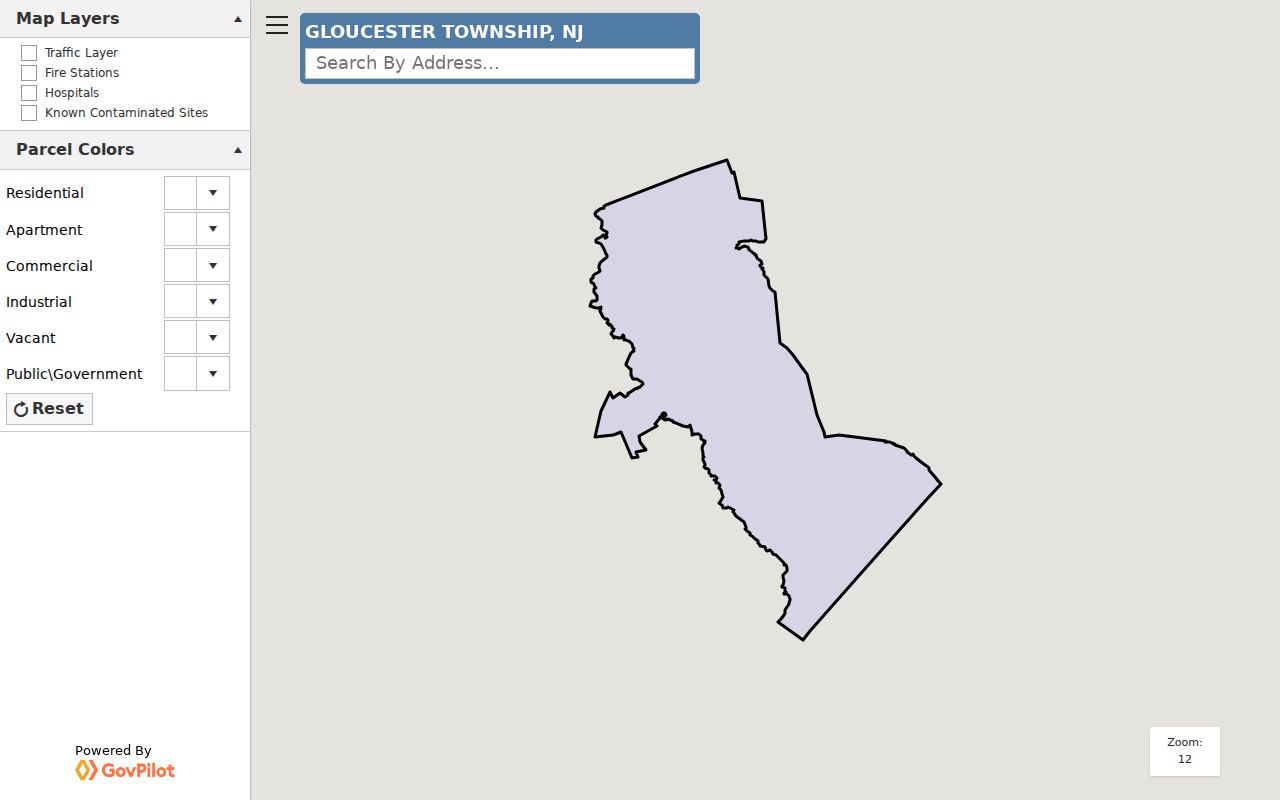
The capture supports an address-to-parcel map workflow, not a radius report or a guaranteed owner-card result. The source inspection did not confirm a buffer control, a fixed distance search, or a parcel owner link. County parcel edges may also fail to align exactly. Use the displayed map as location context, then cross-check the block, lot, and recorded instrument before drawing an ownership conclusion.
Note: Visual proximity on a Gloucester Township map is useful context, but it is not proof of parcel boundaries or a current household.
Gloucester Township Tax Map Sheets
The Township's PDF map route is a second check when two nearby parcels look similar on screen. Open the index map, select key map 1, 2, or 3, and then choose the sheet number. A sheet shows the sheet number, block, and street name. The Township advises that these maps can be panned, zoomed, and printed, but are not survey-grade and cannot be used for legal boundary delineation. That warning matters when a house, driveway, or lot line appears close to a neighboring parcel.
The Camden County Board of Taxation links the Property Assessment Data Search Hub, which includes assessment, owner, sales, land-detail, property-information, 200-foot-list, and general-mapping routes.
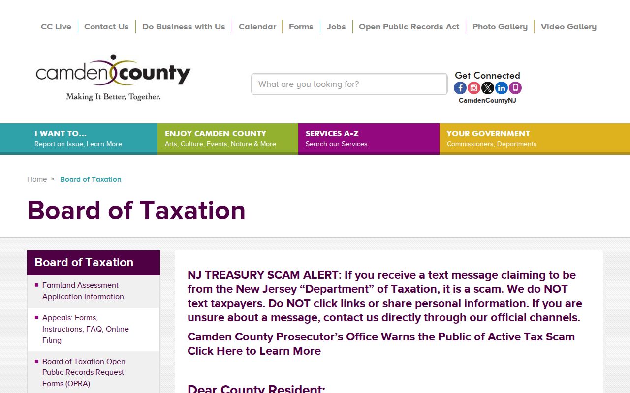
The available public description confirms the assessment and mapping channels, but not every field or the output of a 200-foot list. Use address, Property ID/PIN/Folio, or street name and number as confirmed local approaches. Do not assume that a map result reveals every owner, every adjoining household, or a current address for a person.
Gloucester Township Parcel Deeds
To test an ownership link, move from the parcel reference to the Camden County Clerk's recorded-property index. The index reaches from 1978 to the present and is updated nightly. Search the current owner or other supported name as a grantee, then compare the deed's legal description with the parcel. A grantor is the person or entity transferring an interest; a grantee receives one. That pair helps trace an earlier recorded owner, but does not identify every person living at the address.
Basic online searching and printing are free, although free images carry an unofficial watermark. Premium service removes the watermark and adds document categories, but the source should not be represented as a whole-block resident export. Search adjoining parcels one at a time. For an earlier chain, use the Clerk counter or the Camden County Historical Society's early-deed resources. The full named-street record chain belongs with the Gloucester Township By Street directory, while this block method stays focused on the immediate parcels around one address.
Gloucester Township Voter Boundaries
New Jersey registration records have public portions, but the state status tool is individual-oriented. State law describes name, street address, municipality, ZIP, party designation when supplied, ward/district, and participation history within the registration system. In permitted election contexts, lists can include name, address, party, ward/district, ballot status or date, and polling location. Signatures, Social Security numbers, and driver's-license or non-driver-ID numbers are redacted. Participation records do not reveal ballot choice.
The New Jersey voter-status portal returned a 403 during the inspection, which means its live fields and results were not verified. It is not safe to promise a street or block search from that portal. For a lawful public list or correction process, contact the Camden County Board of Elections. The exact request form, delivery format, fee, and current field schedule were not located in the source material.
Safe at Home participants may use a substitute address. A block search should never infer nearby registered voters from a single registration result or treat a property roll as proof of voter status.
Gloucester Township Community Records
Community sources add public context that parcel records cannot provide. Gloucester Township's official groups page names the Women's Club of Broadmoor, Timberbirch Women's Club, Kiwanis Gloucester Township/Blackwood, Rotary, Lions, Camden-Gloucester Jaycees, Timber Broadmoor Athletic Association, hockey, Scouts, and other organizations. It also connects Blackwood Lake to an Advisory Committee and lists civic boards such as the Historic & Scenic Preservation Committee and Community Impact Council. These are public organization and participation channels, not household lists.
View the Township's community groups and organizations inventory for the official public descriptions captured here.
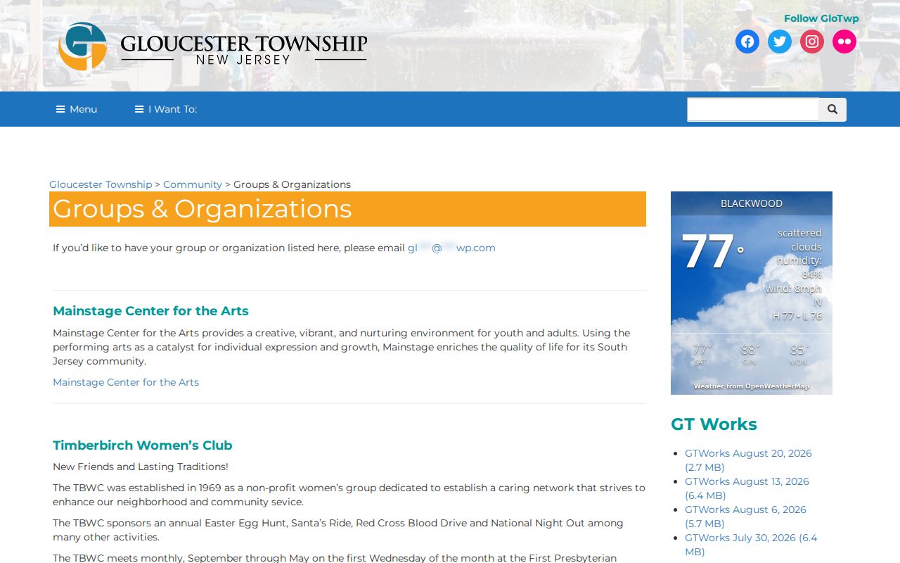
Broadmoor and Timberbirch have named organization identities, while Blackwood Lake has a public advisory layer. In Sicklerville, Raintree provides community information and leadership pages; Valleybrook Links offers association resources and newsletter context in Blackwood. None of these sources is a public member roster. Use them to identify a local public contact, meeting channel, or community resource, never to infer who belongs to a household.
Broadmoor
The Women's Club supports neighborhood updates, entrance signs, gardens, playground gazebo, and a public social channel. No member roster is published.
Timberbirch
The Women's Club was established in 1969 and has a public meeting identity. No member directory was located.
Blackwood Lake
The Advisory Committee focuses on the lake, trail, pump house, and caboose. It provides public committee context only.
Raintree and Valleybrook
These Sicklerville and Blackwood community resources publish public association context, not a resident roster.
Gloucester Township Address Records
Planning, construction, and code records can add an address-specific event, but no public permit-case search was located. The Township publishes permit and construction-jacket forms, including zoning, deck, pool, sign, demolition, and certificate materials. For a releasable record, submit a focused OPRA request to the Township Clerk or contact Planning/Construction or Code Enforcement with the address, date range, record type, and needed fields. Code Enforcement covers matters such as nuisance, high grass, stagnant water, zoning, land use, and building or safety enforcement, subject to access exemptions.
The contrast between official records and commercial compiled tools is practical. Official custodians can explain the record's purpose, date, and access limit. Commercial services may compile old deeds, marketing data, and other sources, but can merge households, retain stale addresses, or omit protected people. Neither category should be used to bypass a redaction or confidentiality rule. Ask the office that created an official record how to inspect or correct it.
| Source category | Useful block evidence | Critical limit |
|---|---|---|
| Official parcel, deed, voter, or civic source | Dated parcel context, recorded interest, permitted election information, or public organization channel | Each has a defined role, redactions, and gaps; none proves every current occupant |
| Commercial compiled profile category | Possible name or older-address lead | May be stale, merge same-name people, or omit protected information; not the custodian |
Map Gloucester Township Neighbors
Keep a simple block worksheet with the anchor address, parcel ID, tax-map sheet, legal description, source date, and the role each result supports. The sequence below keeps map context separate from ownership and from public community information. It also makes a mismatch visible, which is safer than forcing several sources into one conclusion.
- Enter the anchor address in GovPilot and zoom to the parcel. Record its street address, parcel reference, and visible map category.
- Pan to each immediately adjacent parcel. Use a browser identify card only if it appears, then record a parcel ID or legal description rather than relying only on the map image.
- Cross-check the Township tax-map sheet through the index map and key maps. Confirm the street and block, while remembering the map is not a survey.
- Use the assessment or County Clerk route one parcel at a time for a supported owner or transfer question. Compare the legal description before connecting a name to the parcel.
- Use the Board, Clerk, Planning office, or public community organization only for the separate question that office can lawfully answer.
A 200-foot mapping route can provide nearby-parcel context, but the research did not capture its output fields or access details. The same caution applies to the GIS interface: a missing identify card or map result is not proof that a parcel or nearby person does not exist. Record the gap and use the official counter, clerk, or a precise written request if a permitted record is needed.
Note: The cleanest Gloucester Township block record is a dated parcel match, not a collection of untested names.
Gloucester Township Privacy Limits
New Jersey Open Public Records Act access, N.J.S.A. 47:1A-1 et seq., is subject to exemptions and does not convert protected information into a block directory. DMV personal information is restricted. Current vital records are not public search material. Utility and delivery customer information is not a public block list. Daniel's Law can redact covered home addresses, and Safe at Home uses a legal substitute address for eligible participants. Court files can also be sealed or protected. Do not combine partial map, voter, deed, and civic clues to reconstruct a protected address.
When an address or record seems wrong, contact the custodian that created it. Gloucester Township's public records route can address a specific municipal request, while the County Clerk, Board of Elections, court, or state agency controls its own records. Use the smallest record set that answers a real question and leave sensitive gaps in place.